
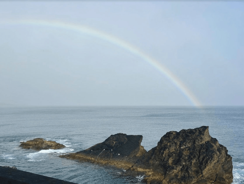
Air and seawater temperatures will rise this week in the Azores and could reach 26 degrees in the water and over 28 in the air, which is unusual for the region.
“It is expected that from next week there will be an increase in the temperature of sea water in the Azores region, which could reach values above 26ºC, particularly on the islands of the Western [Corvo and Flores] and Central [Pico, Faial, São Jorge and Terceira] Groups,” reads a statement issued by the IPMA last week.
“The situation of a positive anomaly in the ocean surface temperature, which has occurred in recent months in this region, is the result of the position and intensity of the Azores Anticyclone,” explains IPMA in the statement, giving as an example the anomaly that in June “varied between 0.8 and 1.6°C in the Eastern [Santa Maria and S. Miguel] and Central groups and between 1.6 and 2.4°C in the Western”.
The Azores Anticyclone is expected to be located to the southwest of the archipelago, presenting a vast field of action, which will be associated with very weak surface winds.
The statement said these low wind conditions will, on the one hand, limit the mixing of water in the upper layers of the ocean and, on the other hand, reduce the transport of dust from the Sahara desert over the subtropical Atlantic region, leaving the atmosphere cleaner and allowing the solar radiation incident on the ocean to be more efficient.
Temperature above 28 degrees Celsius (about 82.5 Fahrenheit)
Due to the combination of these factors, the IPMA predicts “an abnormally high warming of the seawater temperature in the Azores archipelago.”
It adds that during this week, air temperatures above 28°C are also expected, with tropical nights (minimum temperature above 20°C) and high relative humidity values.
The IPMA is, therefore, expected to issue hot weather warnings for the Azores archipelago in due course.
Carolina Medeiros, meteorologist at the Azorean branch of the Portuguese Institute for the Sea and Atmosphere (IPMA), told TSF radio..
June was hot and dry in S. Miguel island and most of the archipelago.
In June 2024, according to the IPMA, the average atmospheric pressure field anomaly at the surface showed positive values up to 4 hPa in the Azores.
The North Atlantic Subtropical Anticyclone extended in a wedge towards the Bay of Biscay and, contrary to what would be expected climatologically, was centered to the north and not to the southwest of the archipelago.
The region’s average monthly air temperature anomaly ranged from 0.8 to 1.6 °C, while the average daily rainfall anomaly ranged from -2 to 0 mm/day.
June was a relatively warm month across the Azores and very dry on the islands of Terceira and S. Miguel.
The sea surface temperature averaged around 20 °C at the start of the month and rose to around 21 to 22 °C at the end of the month.
Until Thursday, there is a very high risk of UV
According to the Portuguese Institute for the Sea and the Atmosphere (IPMA), all the districts of mainland Portugal and the archipelagos of Madeira and the Azores were at very high risk of exposure to ultraviolet (UV) radiation yesterday.
Mainland Portugal and the Azores archipelago will be at very high risk of exposure to UV radiation until at least Thursday.
Eleven districts in mainland Portugal will be under an orange warning between yesterday and Wednesday due to the hot weather forecast, the Portuguese Institute for the Sea and Atmosphere (IPMA) said this morning.
The Portuguese Institute for the Sea and Atmosphere issues an orange warning (the second-highest level) when a weather situation is moderate to high risk.
The ultraviolet radiation scale has five levels, ranging from extreme to low risk.
For regions at extreme risk, the IPMA recommends avoiding sun exposure as much as possible.
Beat the 1985 record of 32 degrees Celsius (almost 90 degrees Fahrenheit)?
The IPMA recorded 32.2 degrees Celsius as the highest air temperature in 1985 in Madalena, on the island of Pico.
Due to the position of the anticyclone, this value could likely be exceeded with the phenomenon that will occur this week in the Azores.
In fact, there are higher records in some areas of the Azores, but the ones made official by the IPMA are those recorded by its monitors located on the various islands.
Sightings of Portuguese man o war (caravela portuguesa)…
Another concern with warmer sea waters is the appearance of the Portuguese man o’ war (the Portuguese Man o’ War is not a jellyfish but a colony of organisms working together to survive. From its stunning blue sail to its toxic tentacles, this fascinating creature is a true marvel of the sea).
The number of sightings of Portuguese man o ‘war (Physalia physalis) reported to GelAvista has been increasing over the last week, both in the Azores and on the mainland, with occurrences from Espinho to Sines.
As the most dangerous gelatinous species in the country, it is essential to bear in mind the precautions to be taken in the event of accidental contact with a Portuguese horse mite:
Wash the affected area thoroughly with seawater without rubbing;
Remove any traces from the skin with tweezers;
Apply warm compresses (40º C) for 20 minutes or undiluted vinegar;
Always seek medical advice.
If you spot a Portuguese man of war on the beach or sea, don’t touch it and inform people nearby. Its stinging cells in its tentacles can cause severe burns even after the animal has died. The citizen science project GelAvista has been monitoring gelatinous organisms in Portuguese waters since 2016.
in Diário dso Açores-Osvaldo Cabral, director
Translated to English as a community outreach program from the Portuguese Beyond Borders Institute (PBBI) and the Modern and Classical Languages and Literatures Department (MCLL) as part of Bruma Publication and ADMA (Azores-Diaspora Media Alliance) at California State University, Fresno, PBBI thanks Luso Financial for sponsoring NOVIDADES.

https://www.nationalgeographic.com/animals/invertebrates/facts/portuguese-man-of-war
